South-east Australia is heading into a sharp burst of spring heat, with temperatures forecast to rise as much as 12 degrees Celsius above average in some areas this weekend after a much colder spell earlier in the week.
The forecast is not a record that has already occurred. It is a projection based on current weather modelling, and local temperatures can still change as the system develops.
ABC meteorologist Tom Saunders says the warming is being driven by a north-westerly flow bringing hot air from inland Australia into the south-east.
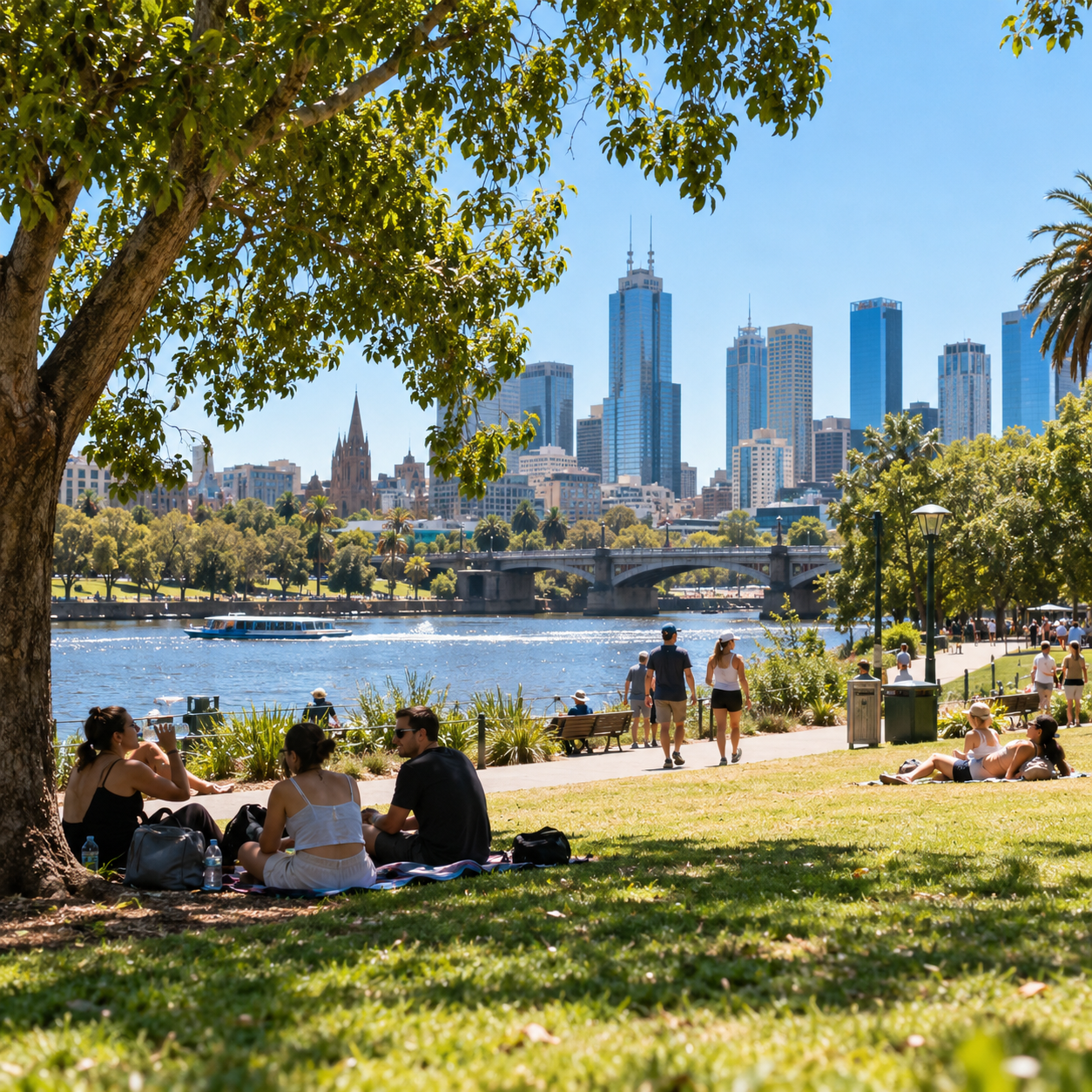
Melbourne, Hobart and Canberra are among the capitals expected to experience unusually warm September conditions. Current forecasts have Melbourne and Hobart near 27 degrees on Sunday and Canberra around 25 degrees.
If those temperatures are reached, they would rank among the warmest September days those cities have experienced in several years.
The rapid change is part of the familiar spring “see-saw” in southern Australia, when cold fronts and warm inland air masses can alternate quickly.
That can produce large temperature swings over only a few days, especially in Victoria, Tasmania, South Australia and inland New South Wales.
The Bureau of Meteorology’s broader spring outlook also points toward above-average daytime temperatures across much of southern Australia through the September-to-November period.
Its seasonal outlook gives many southern regions an elevated chance of unusually high maximum temperatures, including much of New South Wales, Victoria, Tasmania and parts of South Australia.
A seasonal outlook is different from a daily forecast. It describes the probability of conditions across a three-month period rather than predicting the temperature on a specific day.
This weekend’s heat therefore fits a broader warm-season signal, but it should not be interpreted as proof that every day of spring or summer will be hotter than normal.
For households, a short spring heat spike can still be disruptive because people may not yet have shifted into summer routines. Homes can warm quickly, outdoor sport can become more demanding and pets or vulnerable people may need extra attention.
Older people, young children and people with some chronic health conditions can be more affected by hot weather, particularly when temperatures rise abruptly.
Hydration, shade and avoiding strenuous activity during the hottest part of the day are basic precautions when local conditions become unusually warm.
The warm spell may also increase drying of vegetation in areas that have already had below-average rainfall. That does not automatically mean a high fire-danger rating will be declared everywhere, because fire danger depends on wind, humidity, fuel condition and other factors as well as temperature.
People in fire-prone areas should check the official fire-danger rating for their district rather than assuming heat alone determines the risk.
The forecast also matters for energy use. A sudden warm weekend can lift demand for air conditioning at the same time households are still dealing with higher electricity and cost-of-living pressures.
For tourism and outdoor businesses, the effect can be positive in some places, with warmer weather increasing beach, park and hospitality activity. But the benefit depends on how intense the heat becomes and whether wind or fire conditions create restrictions.
The Bureau’s spring outlook also indicates below-average rainfall is more likely across parts of the south and east, including south-eastern Australia and Tasmania.
Warmer days combined with drier conditions can become more significant as the season progresses, which is why longer-range fire and water planning is separate from the short-term weekend forecast.
For now, the most useful approach is to treat the heat as a short-term forecast and keep checking updated local temperatures rather than relying on one early model run.
The current signal is clear enough: after a cold start to the week, much of south-east Australia is likely to experience a rapid temperature jump, with some locations running up to about 12 degrees above their seasonal average.
The speed of the turnaround is one of the notable features of this weekend’s forecast. Earlier in the week, Antarctic air pushed temperatures as much as 10 degrees below average across the south-east and brought snow close to sea level in parts of Tasmania.
Cold nights also returned inland. Goulburn in New South Wales fell to about minus 7 degrees at one point, only around half a degree from its September record. Within days, the same broad region is moving toward early-spring warmth more typical of late spring or summer.
The reason is a reversal in wind direction. Instead of cold southerlies coming off the Southern Ocean, a north-westerly airstream is drawing heat from Australia’s interior toward the southern states.
Meteorologists sometimes describe north-western and inland Australia as a spring “heat engine” because clear skies, dry land and increasing solar energy allow very high temperatures to build early in the season. When the synoptic pattern lines up, northerly winds can transport that air thousands of kilometres south.
Western Australia has already experienced the leading edge of that warmth, with numerous high-temperature records reported this week. The hot air then shifts across South Australia before reaching Victoria, Tasmania, the ACT and parts of New South Wales.
Spring is especially volatile because the continent is heating rapidly while the Southern Ocean remains very cold. Antarctic sea ice is near its annual maximum around this time of year, so southerly changes can still deliver air masses with a distinctly winter-like character.
That temperature contrast is why southern cities can experience dramatic swings in September. A warm northerly day can be followed quickly by a cold front, and a forecast maximum several days ahead can change if the timing of the front shifts.
The Bureau’s seasonal outlook provides a separate reason to watch the coming months. Its September-to-November forecast says daytime temperatures are likely to be above average across areas south of the tropics, while overnight temperatures are likely to be above average across most of Australia.
Rainfall is also forecast to be below average across parts of the south and east, including south-eastern Australia and Tasmania. In some areas the probability of below-average spring rainfall is between 60 and more than 80 per cent.
That does not mean every district will be dry or that a drought declaration follows automatically. Seasonal outlooks describe probabilities across a broad period, and individual rain events can still occur even in a season that ends below average.
The combination of warmer-than-average conditions and reduced rainfall can nevertheless influence soil moisture and vegetation curing as spring progresses. Fire agencies use those factors, along with wind, humidity and fuel condition, when assessing fire danger.
A hot Sunday by itself is therefore not equivalent to an extreme fire-danger day. People should look at the official rating for their local district, especially because conditions can differ sharply between coastal, inland and elevated areas.
The same caution applies to health messaging. Forecast temperatures around 25 to 27 degrees are not extreme summer heat for most Australian capitals, but the abrupt change can still catch people out after a cold week, particularly during outdoor sport or long periods in direct sun.
Homes also respond differently in spring. Buildings that have remained closed up for cold weather can retain heat during a sudden warm spell, while households may not yet have checked air conditioners, fans or shading used during summer.
For Melbourne, Hobart and Canberra, the interest is mainly how unusual the warmth is for the time of year. The forecast does not require an all-time September record to be noteworthy: reaching the current projections would still make Sunday the warmest September day in several years for each city.
Weather records are only confirmed from observations after the event. If cloud arrives earlier, winds change direction or a front moves faster than expected, actual maximums can fall below forecasts. The reverse can also occur if warm air persists longer.
The broader summer outlook mentioned in current reporting suggests meteorologists are also watching the potential for significant heat later in the season. That is a longer-range risk signal rather than a prediction that record temperatures will definitely occur.
For this weekend, the actionable message is simpler: expect a sharp switch from cold to warm weather across much of the south-east, check updated local forecasts before outdoor plans and treat the “12 degrees above average” figure as a regional maximum departure rather than a uniform increase at every location.
Whether individual cities set records will depend on the final observed maximums, which are only known after the day has occurred.